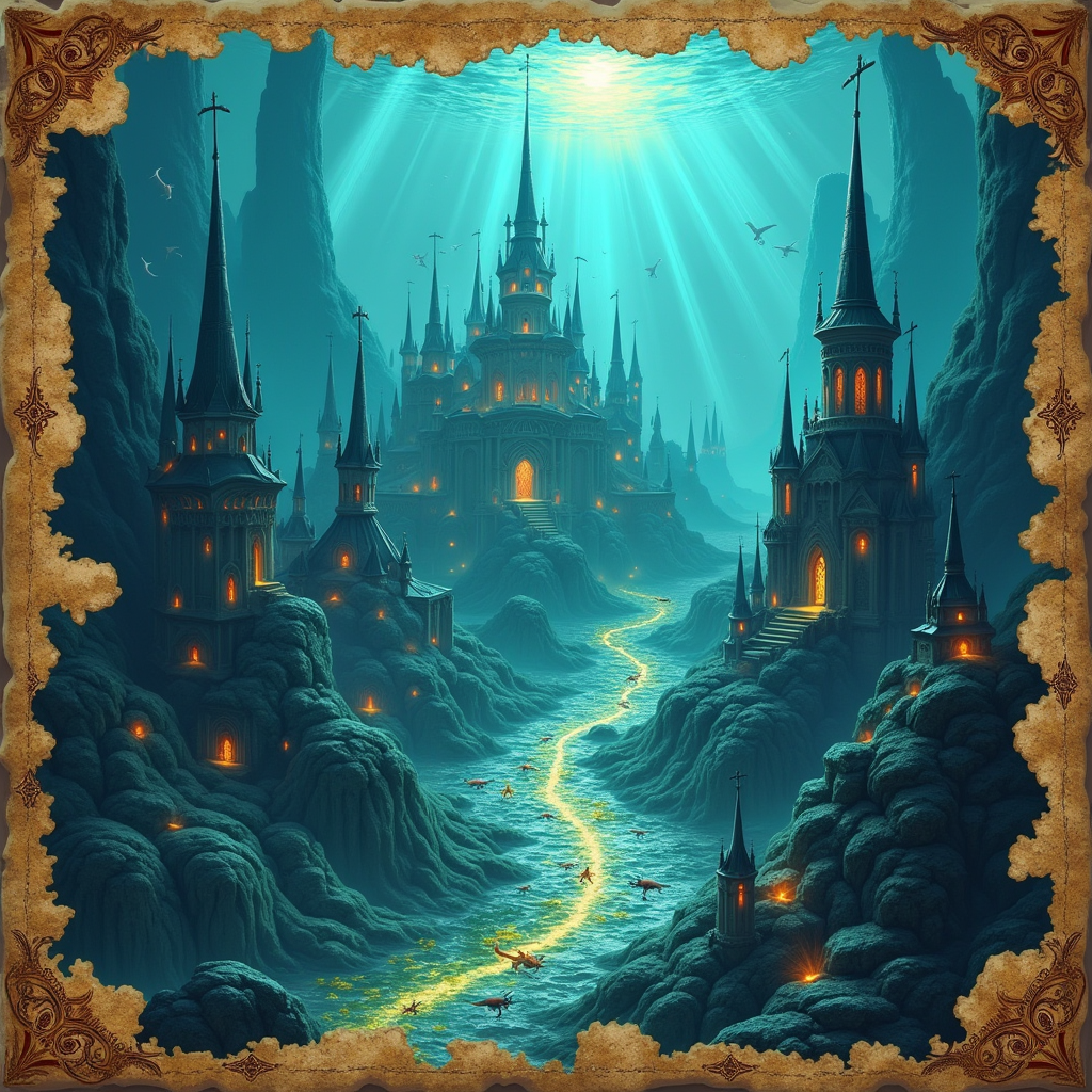
The Last Map of Atlantis
The map was not made of paper. Maren had been a cartographer for the Royal Geographical Society for nine years, and she had handled documents that predated the fall of Rome. She knew the weight of vellum, the acid tack of aged ink, the particular brittleness of parchment that had absorbed centuries of light and air. None of that applied to what she held in her hands.
The map was made of something like leather but smoother, something like silk but stronger, and when she tilted it toward the lamp on her desk, the lines drawn upon it seemed to shift. Not like a trick of shadow. Like movement. Like something alive, adjusting itself to her angle of viewing, as if the territory it depicted was still conscious of being observed. The coastlines were wrong. She recognized the general shape of the Mediterranean, the familiar bite of the Adriatic, but everything east of Crete was a mystery — a vast landmass extending far beyond the bounds of any known continent, its interior marked with symbols she could not identify. At the map’s center, where the Atlantic should have opened into open water, there was a city. She traced the lines of its walls with her fingertip, and they warmed beneath her touch.
The man who had delivered it called himself Aldous Wren, and he had arrived at her office without an appointment, without identification, and without a clear explanation for how he had gotten past the Society’s notoriously difficult doorman. He was old — genuinely old, not the performative vintage of men who affected antiquity. His hands trembled when he placed the map on her desk, and his eyes had the watery clarity of someone who had spent a lifetime looking at things other people could not see.
“You are the only cartographer I trust,” he said. “I have carried this for sixty years. I am running out of time to find the right person.”
“The right person for what?”
“To finish what I started.” He sat without being invited. “I drew this map in 1902, during an expedition I was not supposed to be on. The boat was called the Evening Star. We were meant to chart shipping routes in the mid-Atlantic. Instead, we found something that was not supposed to exist.”
Maren looked at the city at the map’s center. It was rendered in extraordinary detail — every street, every aqueduct, every public garden. It looked less like a survey and more like a memory.
“Atlantis,” she said.
Aldous did not confirm or deny. “The city sank. But it did not disappear. The map is not a record of what was. It is a record of what is, compressed. Translated. If you know how to read it, you can find the path back down.”
She spent three weeks studying the symbols. They were not any known writing system — not Linear A, not Phoenician, not any hieroglyphic tradition she could source. They were something else. A notation system that encoded not just location but state: where things were, what they were doing, how they had changed since the map was drawn. The city was not dormant. The symbols confirmed this in their slow, patient rearrangement. Buildings were marked as altered. Streets had been rerouted. At the map’s center, in the plaza before what she assumed was a temple, a symbol she could not decipher pulsed faintly, like a heartbeat.
She began dreaming of the city. Not the dramatic dreams of disaster that popular imagination associated with Atlantis, but quiet ones — morning light through narrow windows, the sound of water moving through stone channels, the smell of bread baking in an oven fired by something that was not wood. The dreams accumulated a texture of daily life that no drowned city should have been able to offer.
She mentioned this to Aldous, whose health was failing by the day. He nodded as if she had told him something he already knew.
“The map remembers,” he said. “It remembers what it depicts. If you study it long enough, it begins to remember you too.”
“And then what?”
He smiled. The smile of a man who had carried a secret for six decades and was only now beginning to feel the relief of its weight.
“Then you decide whether you want to go.”
She made her decision on a Tuesday, in the small hours of the morning, while the map lay open on her desk and the symbols at the city’s center were brighter than she had ever seen them. She understood now what they meant. Not a location. An invitation. A door that had been held open for one hundred and twenty-four years, waiting for someone to finally walk through.
She rolled the map carefully. She placed it in the leather tube Aldous had delivered it in. She wrote a letter to the Society’s director explaining her absence and left it on her desk. She walked out into the grey London morning.
Aldous had left her coordinates. A location in the mid-Atlantic, four hundred miles from the nearest shipping lane, where the water was deep enough to hide what lay beneath it and remote enough that no one would think to look. He had told her the path was not metaphorical. It was a stair, carved from volcanic rock, descending through darkness to a city that had been waiting, with the patience of centuries, for her to arrive.
She did not know what she would find. She did not know if she would be able to return, or if the city would allow her to leave once she had seen what it truly was. She knew only that the map was warm in her hands, and that the symbols were rearranging themselves into something that looked very much like her name, and that some territories are not meant to be charted from a distance. Some territories require you to be inside them, breathing their air, walking their streets, learning their names for things that have no names in any language you were born speaking.
She went to the harbor. She found a boat. She began the long sail west, toward coordinates that had been waiting for her since 1902, drawn on a map that remembered everything, including the moment she would finally arrive.