The Map They Drew in the Dark
Eleanor had been a cartographer for thirty years. She had drawn maps of places that existed—cities and coastlines, mountain ranges and river systems, the accumulated geography of a world that had been mapped so thoroughly that there was very little left to discover. She had also, in the later years of her career, drawn maps of places that did not exist, for the clients who needed them—fantasy worlds for novels, adventure settings for games, the cartographic scaffolding of imaginations that required something solid to stand on. This work paid better than the legitimate kind, and it required no fieldwork, and it was the kind of work that Eleanor could do in her apartment without ever having to leave.
The commission came from a man who would only identify himself as Mr. Vance. He had contacted her through her website, had described a project that he wanted to keep confidential, had offered a sum of money that was large enough to make Eleanor ask questions. Mr. Vance had answered the questions with a letter that contained more redacted passages than legible ones. What remained suggested that Mr. Vance was working on something that required a map of a place that did not exist—or rather, that had existed in the past and that no longer existed in any form that could be accessed by the people who had once lived there.
Eleanor accepted the commission. She had learned, in thirty years of drawing maps, that the questions she asked before taking work were less important than the quality of the work she produced. She would draw whatever Mr. Vance needed drawn. She would do it carefully and thoroughly. And she would ask, afterward, what the map had been for, if she ever found out.
Mr. Vance’s instructions were detailed. He wanted a map of a city—this was clear, at least, even if the rest of the description was obscure. The city had been built on an island. It had been surrounded by walls. It had contained, at its peak, a population of approximately fifty thousand people. It had been destroyed in a fire that had burned for three months, after which the island had been abandoned and the city had been left to the sea and the weather and the slow processes of decay that eventually reclaimed everything that human beings built.
The city had existed. Eleanor knew this, because Mr. Vance had provided her with documents that proved it—land grant records, census data, architectural surveys, the accumulated paper trail of a community that had lived and died and been forgotten. The city had been located somewhere specific, on a specific island in a specific body of water. But Mr. Vance had instructed Eleanor not to use the actual geography. He wanted the map to be accurate in its details—the street patterns, the building types, the layout of the harbor—but he wanted the map to be set in a fictional location, disconnected from the real world.
Eleanor suspected that this was about legal liability. The island where the city had existed was now owned by someone who might not appreciate having it associated with a destroyed city. She did not ask. She began to draw.
The map took Eleanor three months to complete. She worked from the documents Mr. Vance had provided, which were fragmentary and incomplete and required a significant amount of inference and interpretation. She reconstructed the street grid from tax records and property surveys. She inferred the building types from architectural fragments. She designed the harbor from descriptions in letters that had survived from the city’s final years, letters written by people who had watched the fire approach and who had tried, in the language of the time, to describe what they saw.
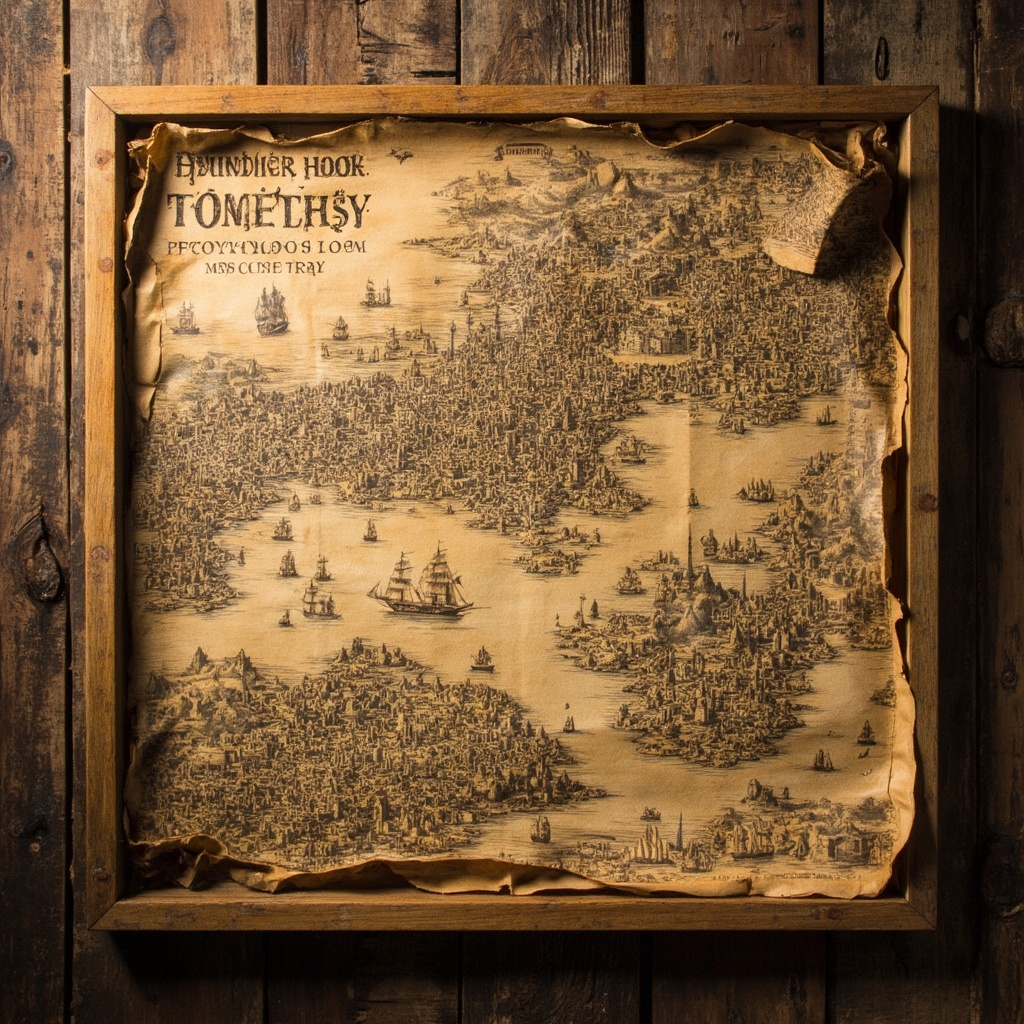
The map was beautiful, when it was finished. Eleanor knew this not from vanity but from professional judgment—she had been drawing maps long enough to recognize when one was good and when it was merely adequate. This map was good. It had the quality of the old city maps that she had studied in her training, the quality of the hand-drawn surveys that had been made before the age of satellite imaging and digital processing. It had been drawn with care, with precision, with the kind of attention that the subject deserved.
The city on the map was organized around a central plaza, from which the main streets radiated outward in a pattern that suggested both functionality and aesthetics. The harbor was on the eastern side, protected by a natural cove that had made the island suitable for the kind of commerce that had sustained the city for centuries. The walls were still visible in the map, even though they had been largely destroyed in the fire—their outline marked the boundaries of the city that had existed within them, the perimeter of the community that had been erased.
Mr. Vance came to Eleanor’s apartment to collect the map. He was older than she had expected—an elderly man, perhaps seventy, with the kind of movements that suggested someone who had once been vigorous and was now being careful with what remained. He looked at the map for a long time. He did not speak. He simply looked, as if he were seeing something that Eleanor could not see, as if the map was triggering memories that she had not created.
“You did well,” he said, finally. “Better than I expected.”
Eleanor asked the question she had been waiting three months to ask. “What was the city?”
Mr. Vance was quiet for a long time. Then he said, “It was my city. I was born there. I was nine years old when the fire started. I was twelve when the island was finally evacuated. I was the last person to leave.”
Eleanor looked at the map. She looked at the island, the harbor, the streets she had spent three months reconstructing from fragments. She had drawn the city from documents. She had not known that she was drawing the city from someone’s memory.
“Why the fictional location?” she asked.
“Because the island where the city actually was is not a place I want anyone to go,” Mr. Vance said. “What happened there is not something I want anyone to find. The city is gone. The island is just rocks and ruins. I wanted a map of what it was, not a guide to what it has become.”
Mr. Vance paid Eleanor and left with the map. She did not hear from him again. She continued with her work, drawing maps of real places and fictional ones, taking commissions from clients whose needs ranged from the mundane to the esoteric. She did not think about Mr. Vance very often. She thought about him, sometimes, when she was working on a commission that involved a destroyed place—a map of a building that had been demolished, a survey of a neighborhood that no longer existed. She thought about the way he had looked at the map when he came to collect it, as if he were seeing the city that had been and not the reconstruction she had made from fragments.
Six months later, Eleanor received a letter from Mr. Vance. The letter contained no return address. It contained only a note that said: “The map is framed now. It hangs in my study. I look at it every day. Thank you for giving back what I lost.”
Eleanor put the letter in a drawer, with the other letters she had received over the years from clients who had been moved by the work she had done for them. She did not save all of her correspondence. But she saved the letters that meant something—the ones from people who had needed what she could provide and who had found, in the maps she made for them, something that they had lost.
Some maps are documents of places that exist. And some maps are records of places that no longer exist but that deserve to be remembered. Eleanor had drawn both kinds. She had never thought much about the difference, until Mr. Vance showed her what a map could mean to someone who had lost the place it depicted.